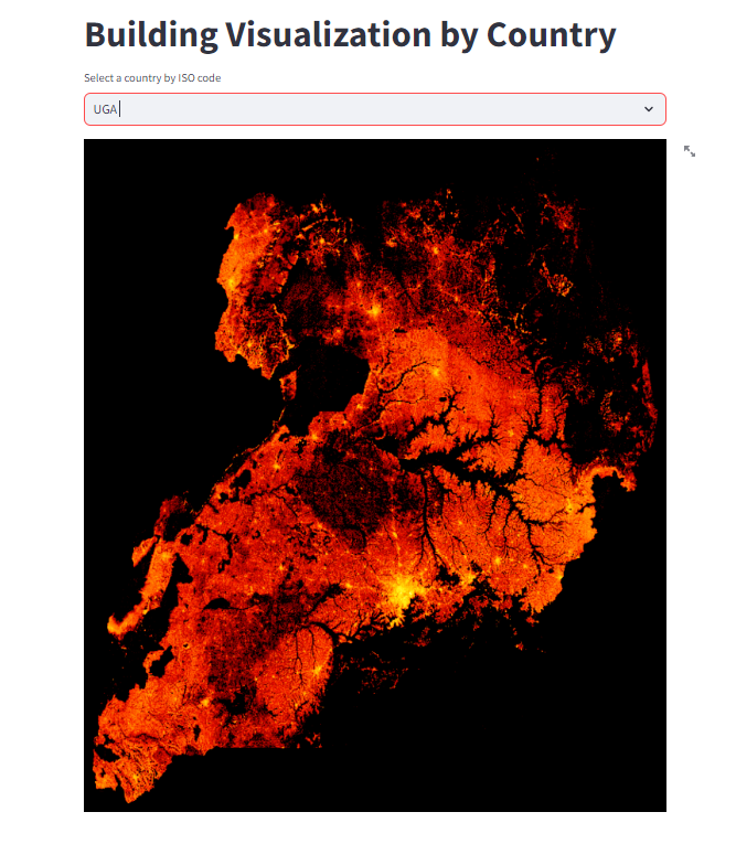
This Streamlit Python application transforms the Colab Notebook developed by Steven Kent into an interactive tool for exploring housing density by country. Users can enter a 3-letter country code from a provided list, and the application will generate a housing density map for the selected country.
Click the example generated image for Uganda below to view the app demo.
git clone https://github.com/LNshuti/pop-density-maps.gitcd pop-density-maps
conda env create --file=environment.yamlpip install -r requirements.txt streamlit run app.pydocker build -t pop-density .docker run --rm -p 8501:8501 --name pop-density-container pop-density http://localhost:8501/- Stephen Kent. Egypt Buildings. A Google Colab Notebook for Querying S3 Data and build a Map using Python and SQL. https://github.com/kentstephen/egypt_buildings