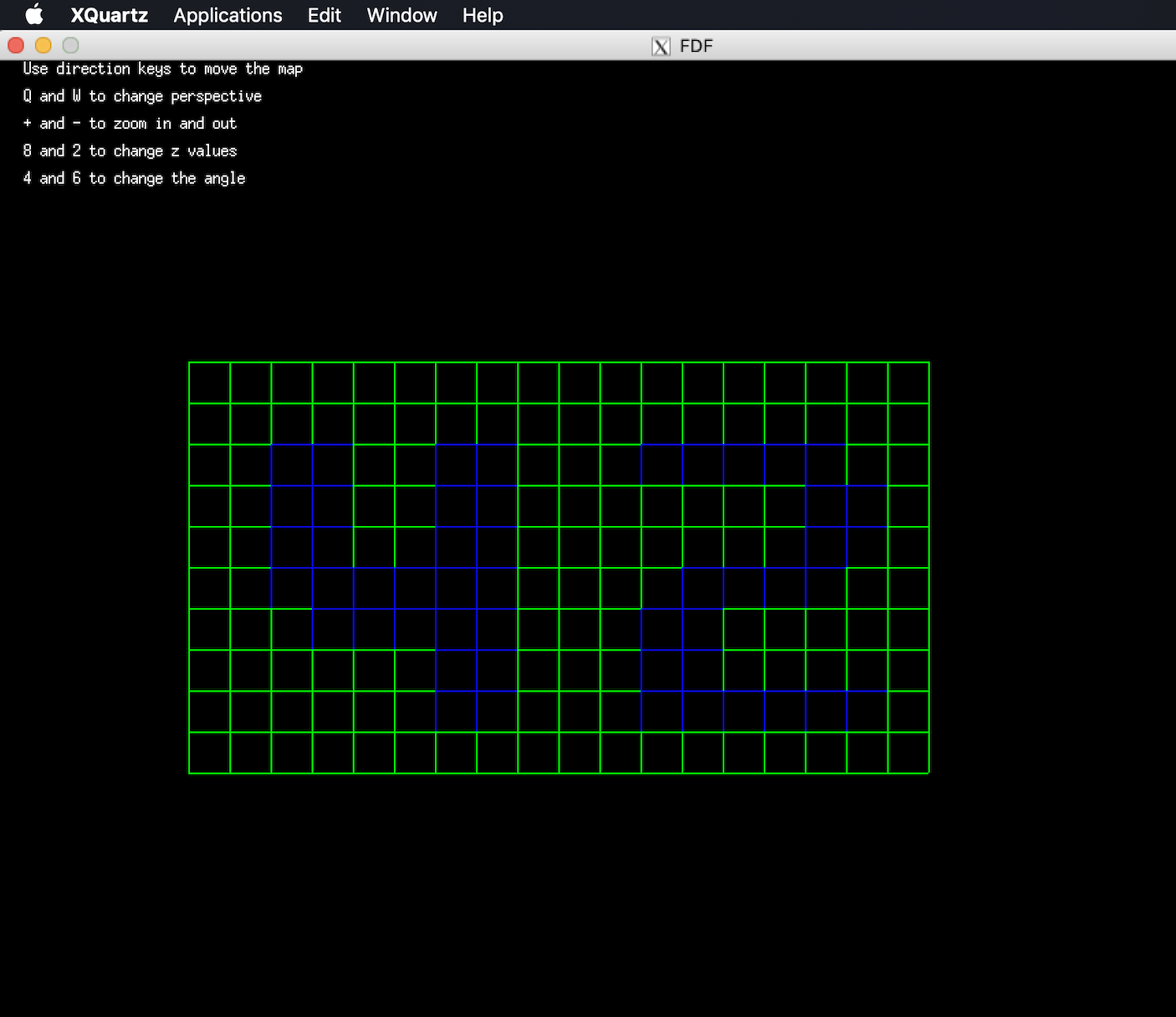
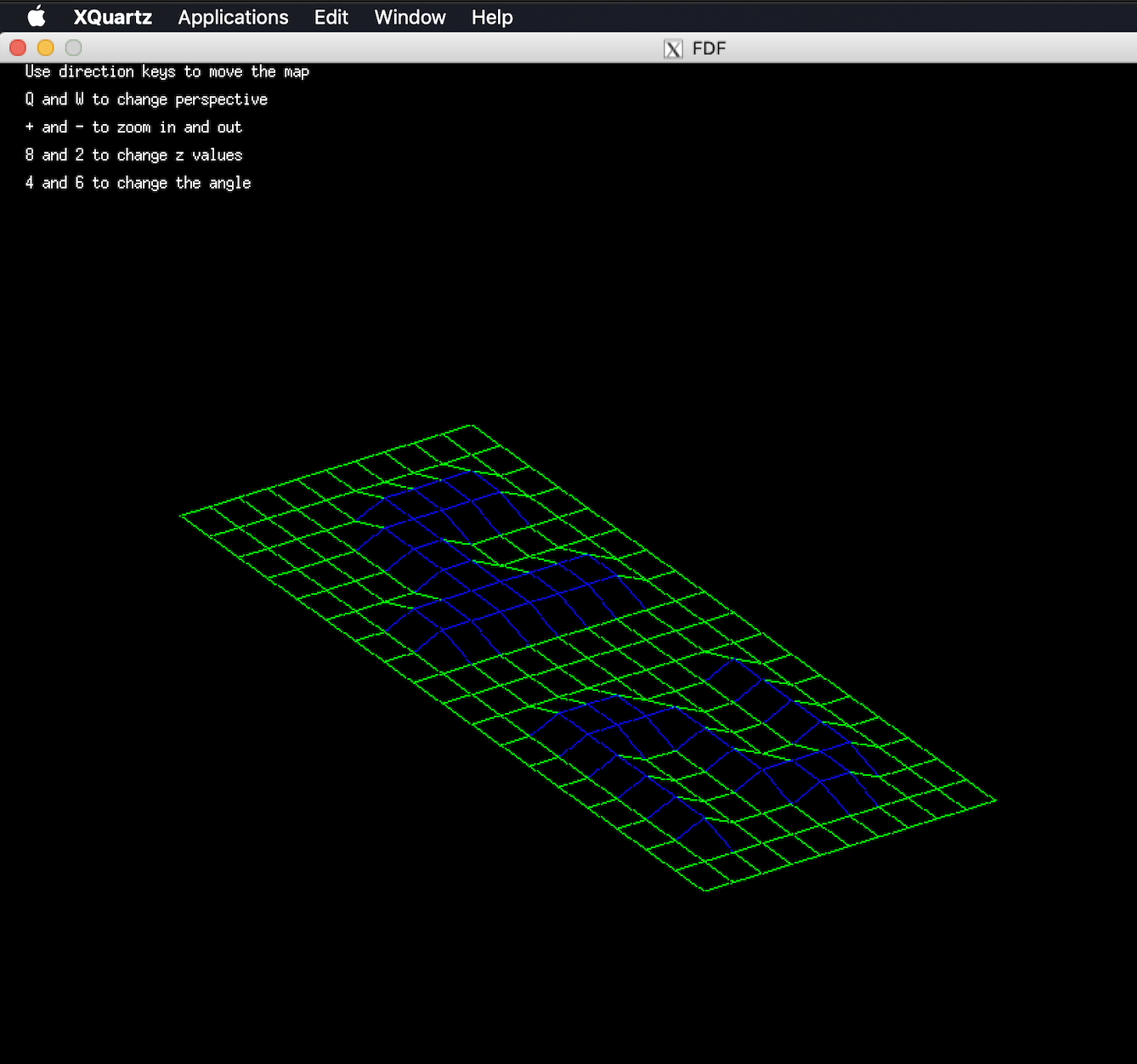
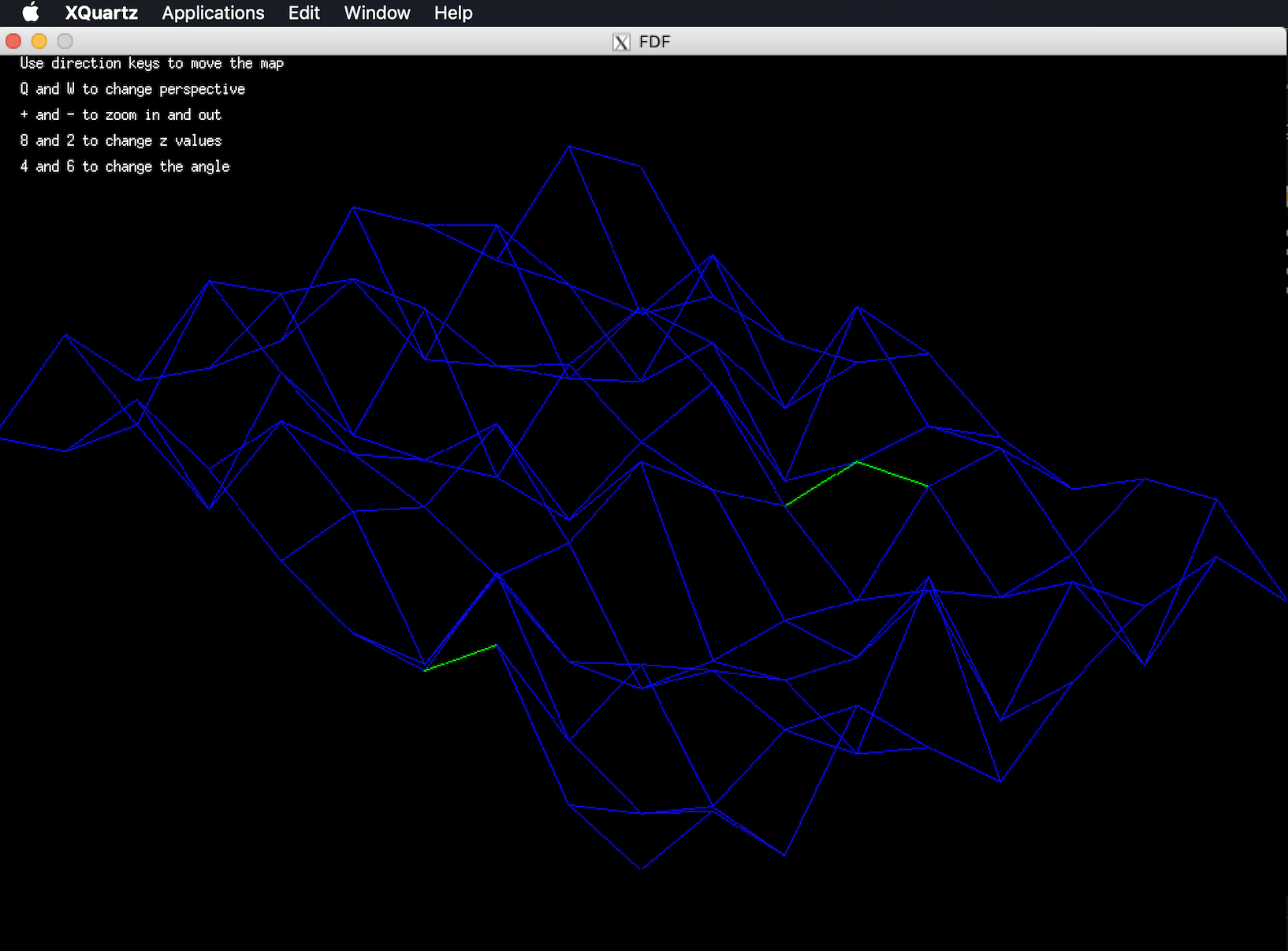
This project is about creating a simplified graphic “wireframe” (“fils de fer” in french, hence the name of the project) representation of a relief landscape linking various points (x, y, z) via segments. The coordinates of this landscape are stored in a file passed as a parameter to your program.
The given input map is a 2D grid of numbers, where each number corresponds to its altitude.
For example, giving the following text as input:
0  0  0  0  0  0  0  0  0  0  0  0  0  0  0  0  0  0  0
0  0  0  0  0  0  0  0  0  0  0  0  0  0  0  0  0  0  0
0  0 10 10  0  0 10 10  0  0  0 10 10 10 10 10  0  0  0
0  0 10 10  0  0 10 10  0  0  0  0  0  0  0 10 10  0  0
0  0 10 10  0  0 10 10  0  0  0  0  0  0  0 10 10  0  0
0  0 10 10 10 10 10 10  0  0  0  0 10 10 10 10  0  0  0
0  0  0 10 10 10 10 10  0  0  0 10 10  0  0  0  0  0  0
0  0  0  0  0  0 10 10  0  0  0 10 10  0  0  0  0  0  0
0  0  0  0  0  0 10 10  0  0  0 10 10 10 10 10 10  0  0
0  0  0  0  0  0  0  0  0  0  0  0  0  0  0  0  0  0  0
0  0  0  0  0  0  0  0  0  0  0  0  0  0  0  0  0  0  0
Results in this visualization:
Very good source for doing the project: https://github.com/qst0/ft_libgfx#getting-started-with-fractol-ft_fractal


