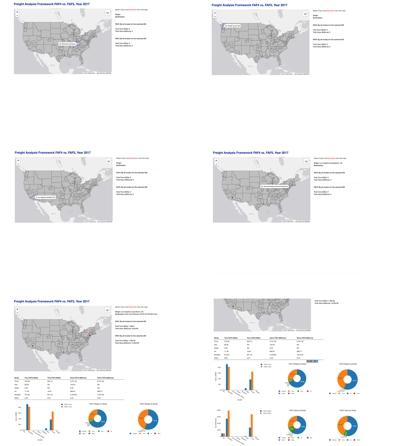
This R Shiny web application creates an interactive map for comparing data from FHWA Freight Analysis Framework version 4 (FAF4) vs. version 5 (FAF5).
FAF_Zones: shapefile for FAF zones
centroid.CSV : FAF zone centroid locations
od_mode_vol_45.CSV: Origin-destination flows by mode, including tons (000) and $ values (millions)
ui.R and server.R: R scripts for the R shiny web application
Refer to this Medium article that breaks down the code step by step:
Create Interactive Map Applications in R and R Shiny for Exploring Geospatial Data
