Constantino Carreto Dec 26, 2022
In this project, I use spatial-analysis techniques to find the municipalities whose centroid is 10 km or less from a river, in Mexico. This could be of interest if, for instance, we want to find the municipalities that could be affected the most by floods or exposed to diseases transmitted by mosquitoes. I try to exemplify some spatial techniques and the previous data preparation to be able to implement this spatial analysis. This example can be easily extended to other spatial techniques. I use only a pair of functions of the sf package, but this package has many available functions.
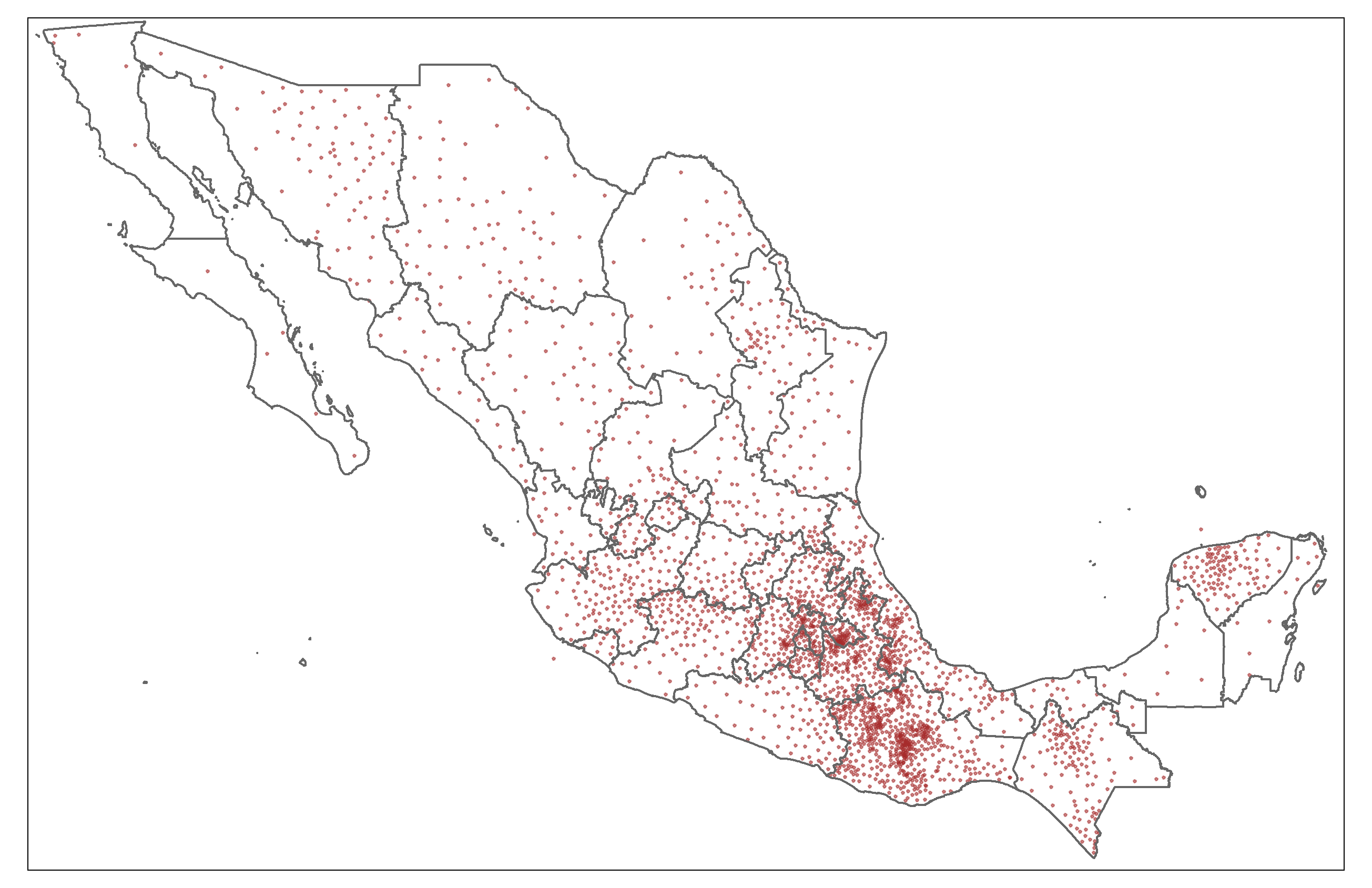
First, I compute municipalities' centroids:
On the other hand, in the case of the rivers, this is what a simple map looks like:
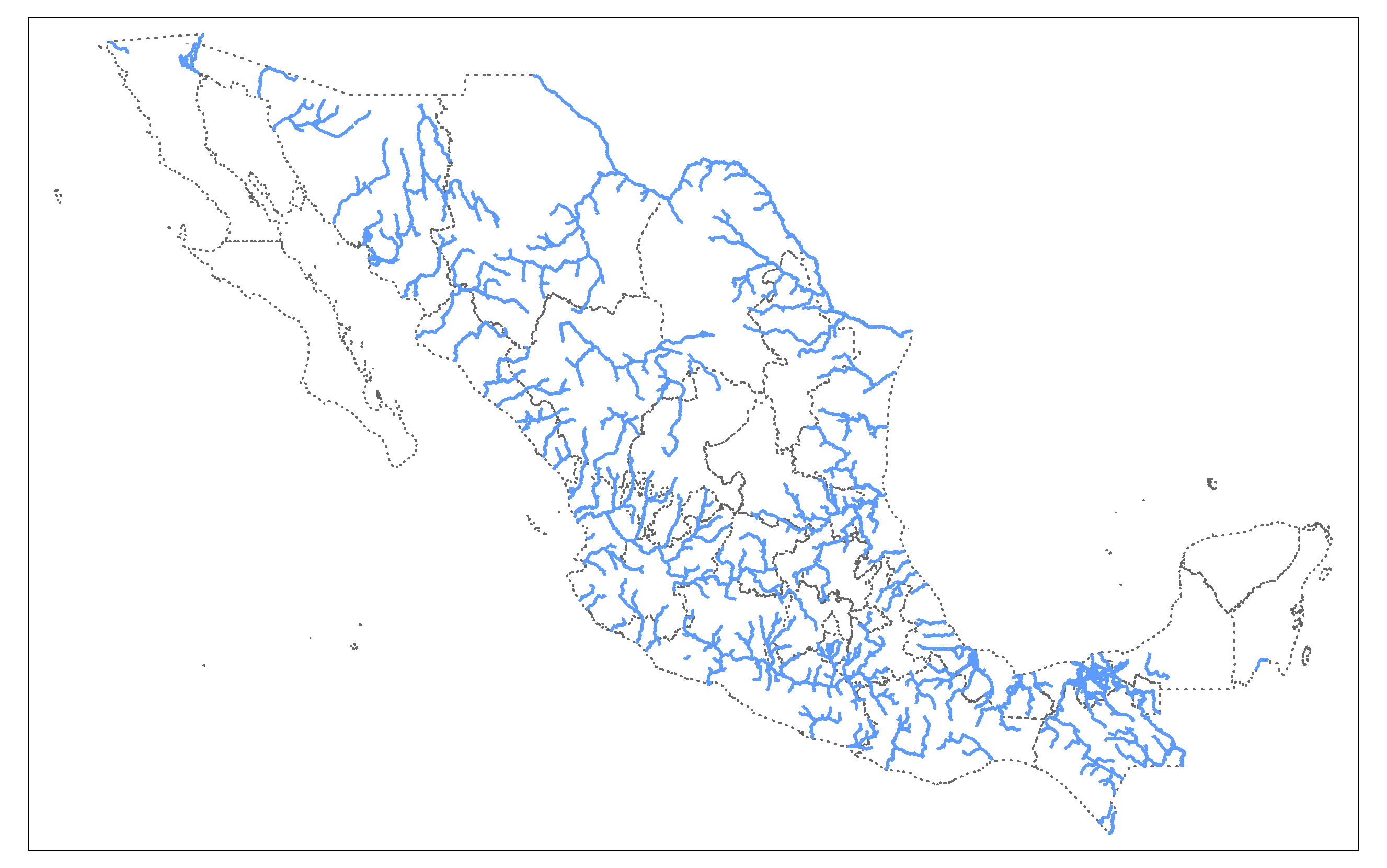
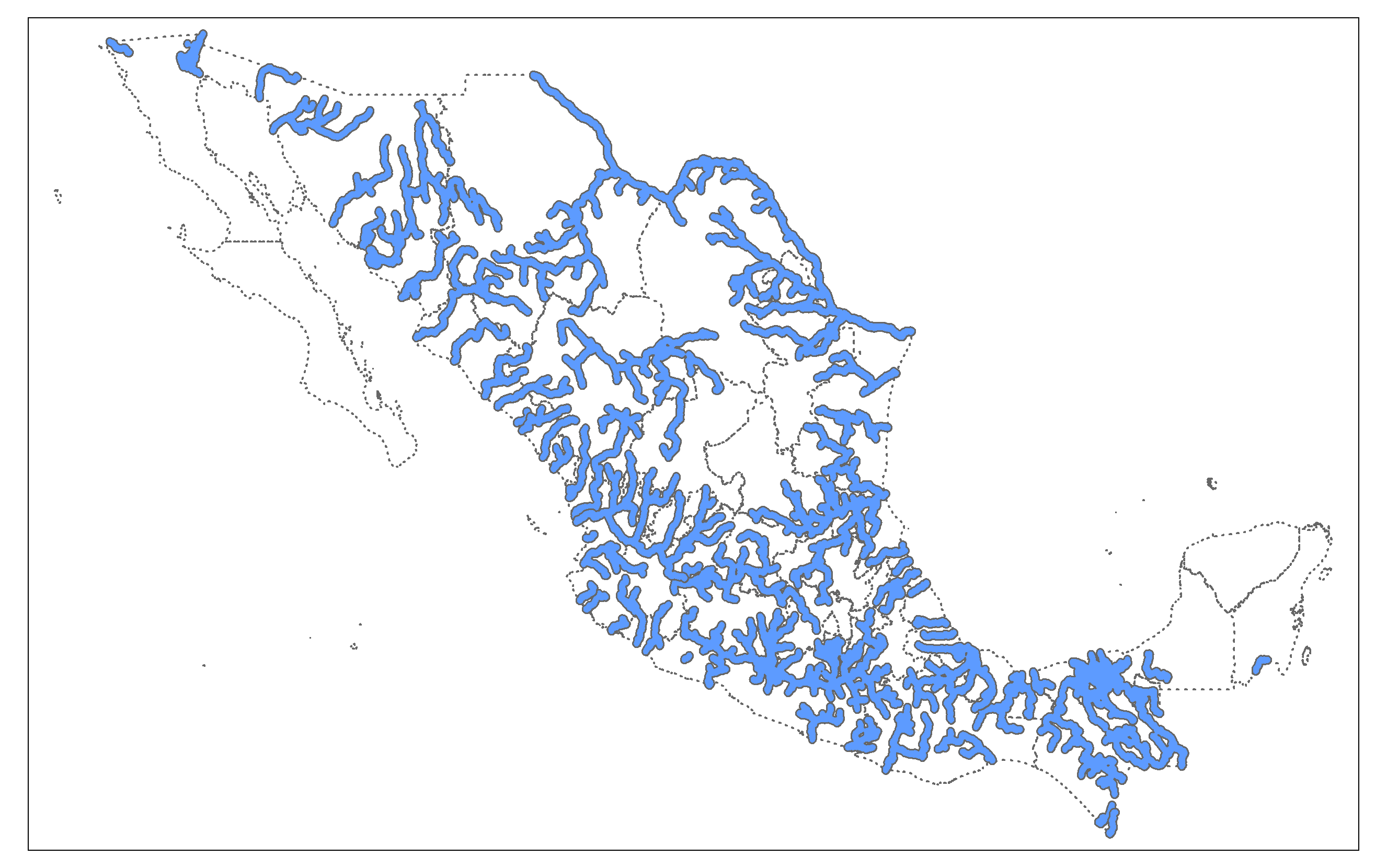
Then, I compute a buffer of 10 km for the rivers in Mexico, that is, I make the rivers "thicker" by 10 km to the left and 10 km to the right:
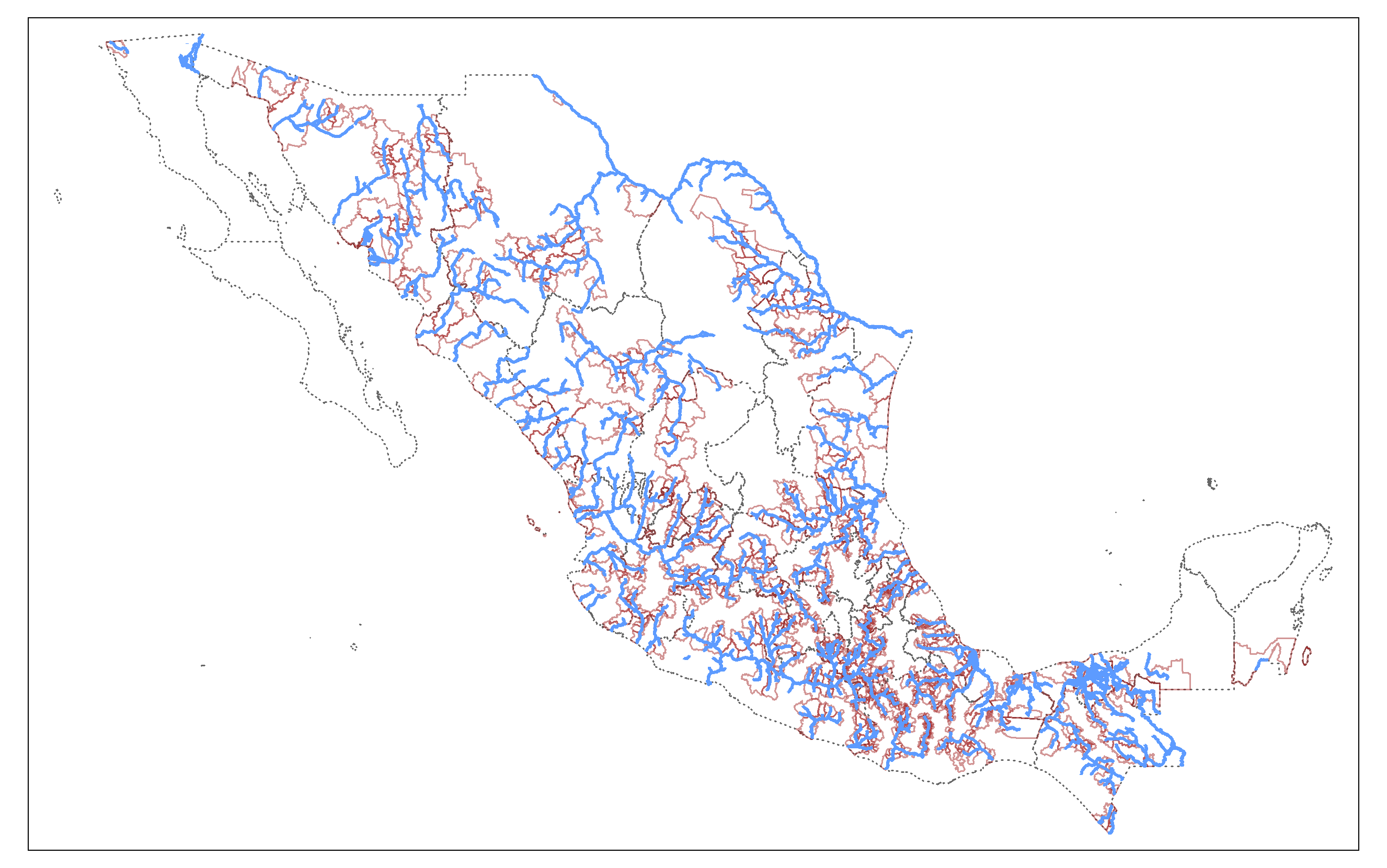
Finally, I localize the municipalities whose centroid is within 10 km or less from a river. I do this by a spatial intersection between the centroids and the rivers' buffers:
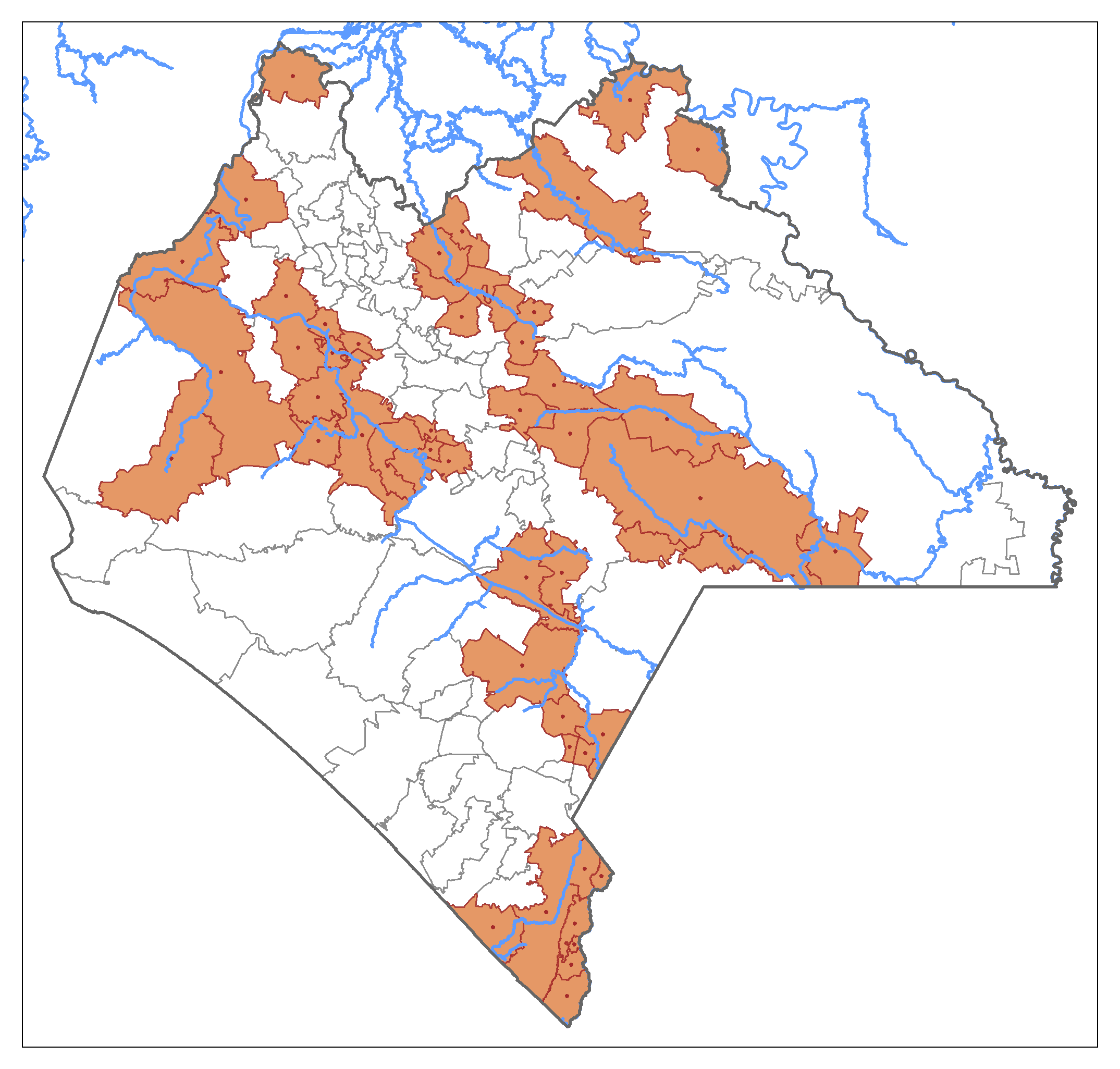
This is a close-up of the state of Chiapas:
To find the municipalities that are crossed by a river I could have simply intersected the municipalities' polygons and the rivers' buffers, but I added the centroid component to exemplify its computation. Besides, by using the centroids, we could guarantee that the rivers' buffers crossed a great proportion of the municipality, just in case we are interested in finding municipalities with greater exposition to the rivers.
