Please see https://manticorp.github.io/unrealheightmap/ for an in-browser version that works without having to download anything, with a much more intuitive interface.
I will leave this repo up for posterity.
- PHP >7.2
- Composer
- Python3
- numpy
- cupy (optional - only use if you have a GPU, not recommended as it's not much faster than numpy tbh)
- PIL
You will need to register for an API key here:
https://developers.nextzen.org/
Then navigate to the project directory and run composer install:
cd Nextzen16bitGrayscaleHeightmap
composer install
For all options use
php renderLocation.php --help
Any option can be defaulted in the given config.php file.
You can store commonly used locations under a key in locations.config.php
Command line args take precedence over conf options, so you can for example specify a different tile width or zoom level
Example command
php renderLocation.php -a YOUR_API_KEY --latitude 12.345 --longitude 123.456 --zoom 15 -x 5 -y 5 -e
php renderLocation.php -a YOUR_API_KEY --location central_london -e
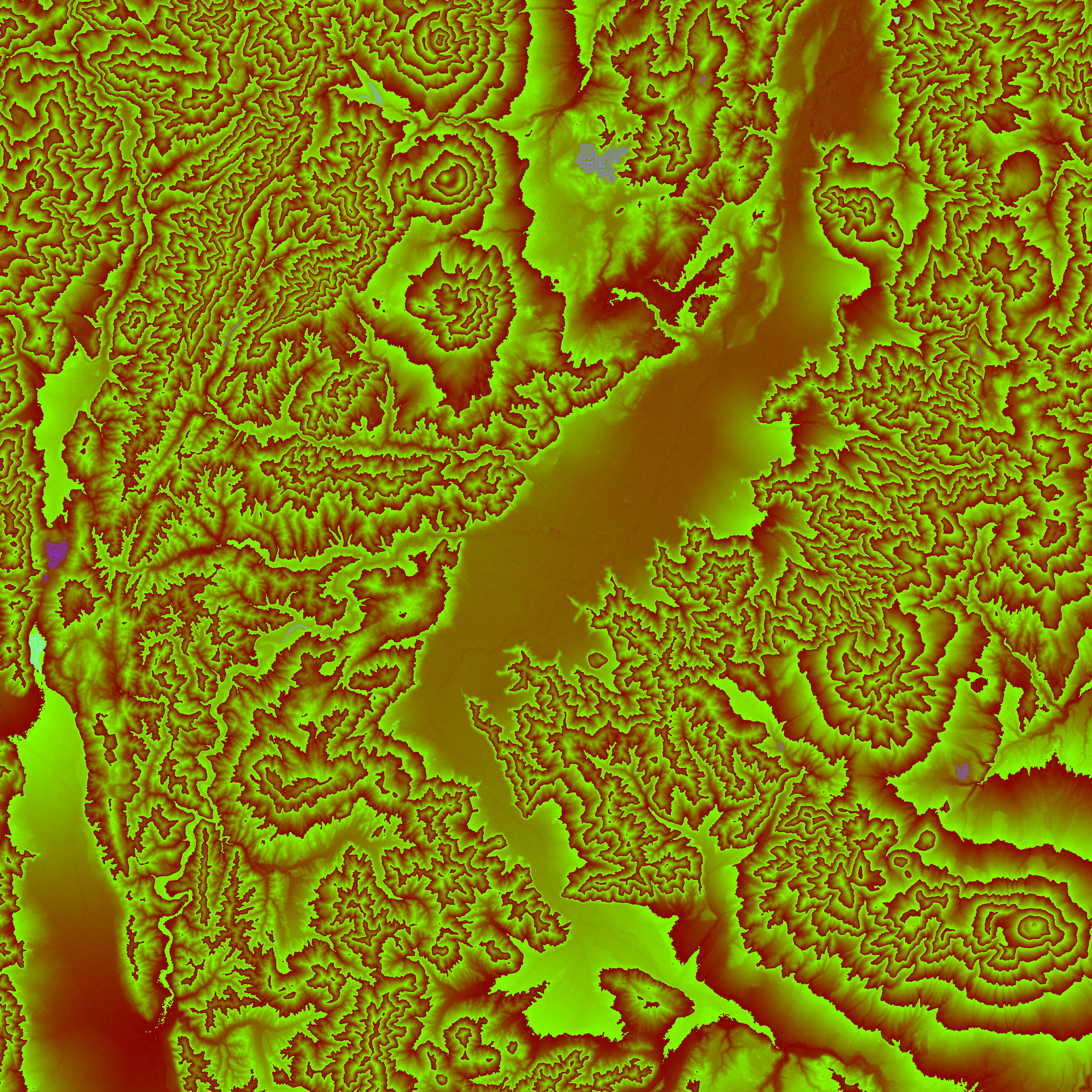
The examples in this gist are generated using the following command:
php renderLocation.php -a YOUR_API_KEY -l 36.6271 -k 138.20453 -x 8 -y 8 -z 13 -e
On my XPS 15 9350 with i7 and 32GB ram, aside from downloading, the process takes around 15s to complete for this example.

