Level-of-Detail 1 (LoD1) 3D Building Models from OpenStreetMap
We follow the awesome Filip Biljecki and NUS Urban Analytics Lab at the National University of Singapore and generate LoD1 3D buildings models from volunteered Public Data; namely OpenStreetMap.
The original repositories (hdb3d-data and hdb3d-code ~ under MIT License) are here.
And the paper
Biljecki, F.: EXPLORATION OF OPEN DATA IN SOUTHEAST ASIA TO GENERATE 3D BUILDING MODELS, ISPRS Ann. Photogramm. Remote Sens. Spatial Inf. Sci., VI-4/W1-2020, 37–44, https://doi.org/10.5194/isprs-annals-VI-4-W1-2020-37-2020, 2020
is here.
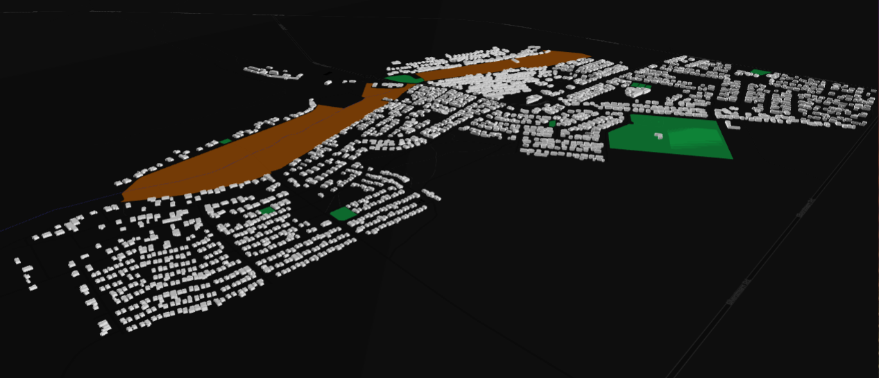
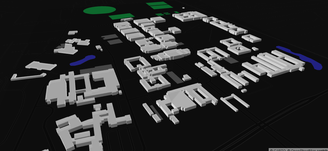
The osm_lod1_3dbuildingmodel.ipynb notebook should produce CityJSON files and an interactive .html which you can navigate with queriable features ~ A static .png below for reference + another of a different area.
NOTE:
This workflow is not meant to scale.
Requests for an extreme amount of data from the osm server is destructive to the entire community. Village, Suburb and Campus analysis only please. For a larger area (city, state) consider harvesting data via .pbf (geofabric or planet) - raise an issue and we can work on an alternate processing strategy.

