
A volcanic eruption started at 20:45 GMT 19. March 2021 in the Geldingadalir valley at Fagradalsfjall, e. 'Beautiful valley mountain', on the Reykjanes peninsula, South-West Iceland. The eruption is ongoing.
This repository contains models of Icelandic volcanoes for 3D printing of relief maps, molds for plaster casting and chocolate making. All data in this repository is free to use for educational, personal or commercial purposes. Please attribute either this repository or GeoVis lab of the University of Iceland.
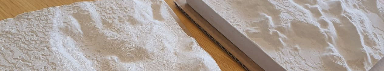
STL files for 3D printing 15 x 15 cm relief map models at three zoom levels. See instructions and files in Relief_maps folder.
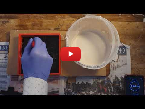
STL files for 3D printing plaster of paris casting molds and accessories. Files and instructions in Molds_for_plaster_casting folder. Timelapse instructional YouTube video below.
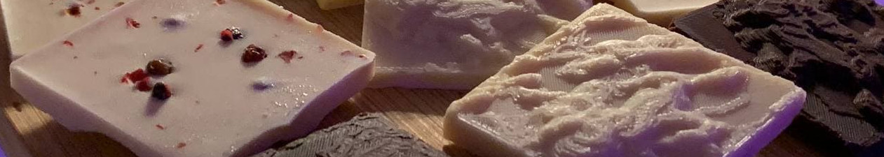
STL files for 3D printing molds for casting silicone molds for chocolate making. Files in Chocolate_molds folder.
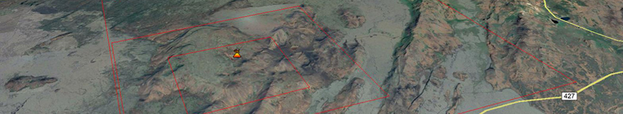
KLM files for loading into Google Earth. Files and instructions in KLM_refererences folder.
3D models are prepared for printing in Ultimaker Cura configured for Crealty Ender 3 Pro printer. Important: Top and bottom thickness has been doubled from 0.8mm to 1.6mm. Top thickness needs to be increased or else elevation lines may misprint in 3D printer. If making plaster molds, bottom thickness also needs to be increased so the model does not deform when pressed to release from mold frame.
For chocolate molds it may be worth it to print at highest resolution possible. The printer used here has normal print quality of 0.2mm resolution, but at highest print quality the resolution is 0.12mm, resulting in increased detail and finer elevation lines. However, molds for plaster printed at 0.2mm produce casts with starker detail and more defined shadows.
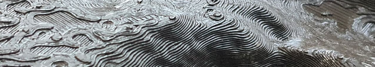
The Digital Elevation Model used here is based on the ArcticDEM dataset created from DigitalGlobe, Inc., imagery and funded under National Science Foundation awards 1043681, 1559691, and 1542736. The DEM was manually adjusted to remove errors and gaps in the data.
STL files were created using QGIS software utilising the DEMto3D plugin. Slicing of 3D maps and mirroring of the inverted relief maps were realised in Ultimaker Cura. Chocolate molds were created using Blender. 3D printer Crealty Ender 3 Pro.
This work is licensed under a Creative Commons Attribution 4.0 International License.