Vertical Photo Placer
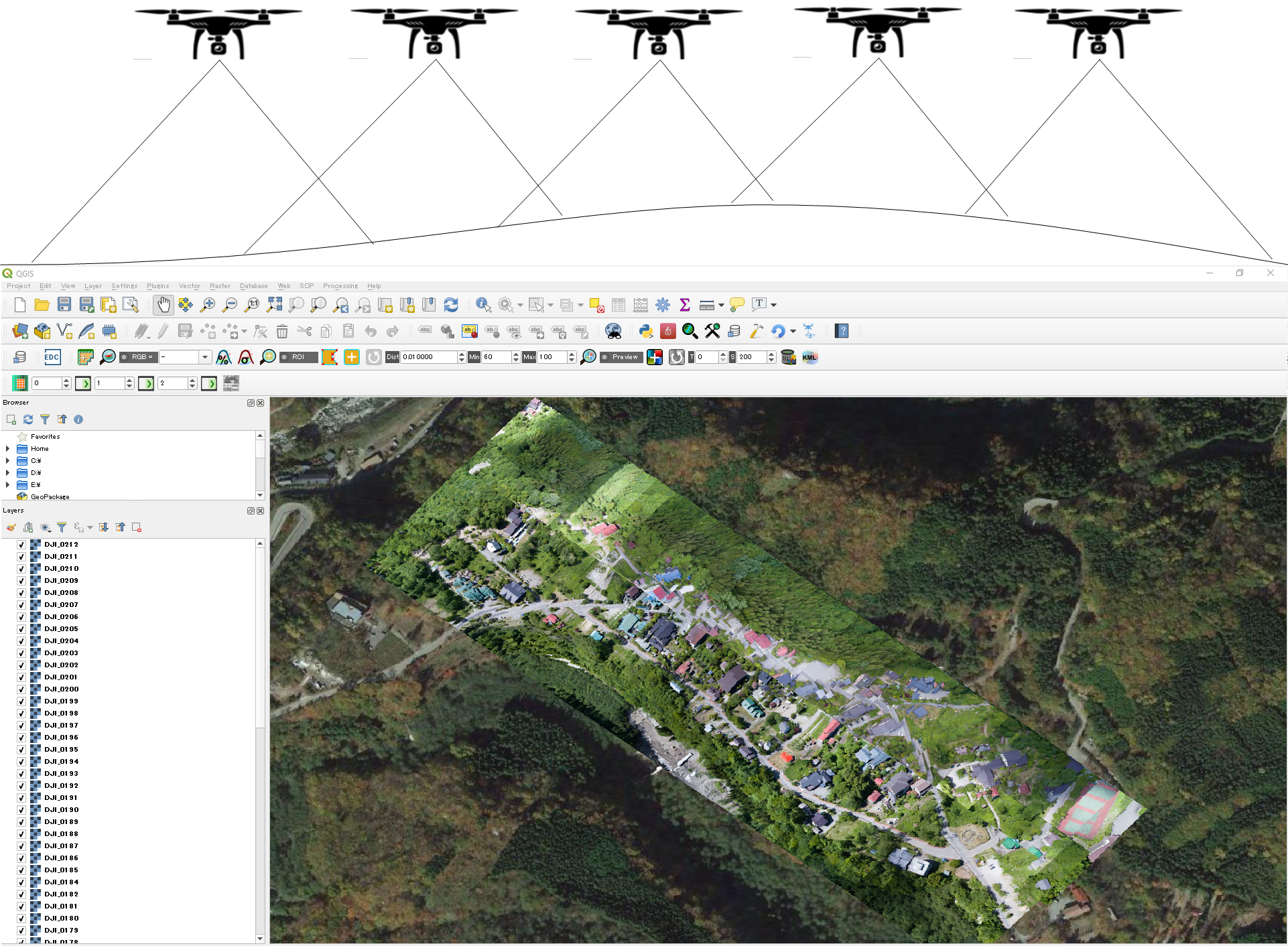
![]() The Vertical Photo Placer (VPP) is a free open source plugin for QGIS that performs quick placement of vertical drone photos on map.
The Vertical Photo Placer (VPP) is a free open source plugin for QGIS that performs quick placement of vertical drone photos on map.
The objective of VPP is to provide a tool for quickly geo-referencing and visualization of vertical drone photos on map. Geo-reference is done by generating a world file for each photo according to ESRI specification, see https://en.wikipedia.org/wiki/World_file for detailed information.
This plugin should be used in cases when quick information visualization is needed such as disaster response. If geo-referencing accuracy is top priority, other tools should be considered.
Plugin installation
Please follow this tutorial.
Usage
Please follow this tutorial.
Contributing
If you find some issue that you are willing to fix, code contributions are welcome.
Author
- Man Duc Chuc
Credits
The author thanks the International Digital Earth Applied Science Research Center, Chubu University and National Research Institute for Earth Science and Disaster Resilience (NIED), Japan.
License
This plugin is distributed under a GNU General Public License version 3.
How to cite
Coming soon!