H3-R
Provides R bindings for H3, a hexagonal hierarchical spatial indexing system.
Documentation
Notes
Succesfully built on
- Linux
- OSX
If you cannot build the C library you might check crazycapivara/h3forr providing bindings via V8 and h3-js.
Requirements
First of all you need to build the H3 C library from source. Therefore, you need a C compiler, cmake and make.
Then you can run:
git clone https://github.com/crazycapivara/h3-r.git
pushd h3-r
chmod +x install-h3c.sh
# Install H3 C Library
./install-h3c.sh
# Install H3 for R
R -q -e 'devtools::install()'
popd
rm -rf h3-r
Installation
You can install h3 from github with:
# install.packages("devtools")
devtools::install_github("crazycapivara/h3-r")
Usage
Core functions:
library(h3)

coords <- c(37.3615593, -122.0553238)
resolution <- 7

# Convert a lat/lng point to a hexagon index at resolution 7
(h3_index <- geo_to_h3(coords, resolution))
#> [1] "87283472bffffff"

# Get the center of the hexagon
h3_to_geo_sf(h3_index)
#> Simple feature collection with 1 feature and 0 fields
#> geometry type:  POINT
#> dimension:      XY
#> bbox:           xmin: -122.0503 ymin: 37.35172 xmax: -122.0503 ymax: 37.35172
#> epsg (SRID):    4326
#> proj4string:    +proj=longlat +datum=WGS84 +no_defs
#>                     geometry
#> 1 POINT (-122.0503 37.35172)

# Get the vertices of the hexagon
h3_to_geo_boundary(h3_index)
#> [[1]]
#>           lat       lng
#> [1,] 37.34110 -122.0416
#> [2,] 37.35290 -122.0340
#> [3,] 37.36352 -122.0428
#> [4,] 37.36234 -122.0591
#> [5,] 37.35054 -122.0666
#> [6,] 37.33992 -122.0579

# Get the polygon of the hexagon
h3_to_geo_boundary_sf(h3_index)
#> Simple feature collection with 1 feature and 0 fields
#> geometry type:  POLYGON
#> dimension:      XY
#> bbox:           xmin: -122.0666 ymin: 37.33992 xmax: -122.034 ymax: 37.36352
#> epsg (SRID):    4326
#> proj4string:    +proj=longlat +datum=WGS84 +no_defs
#>                         geometry
#> 1 POLYGON ((-122.0416 37.3411...
Useful algorithms:
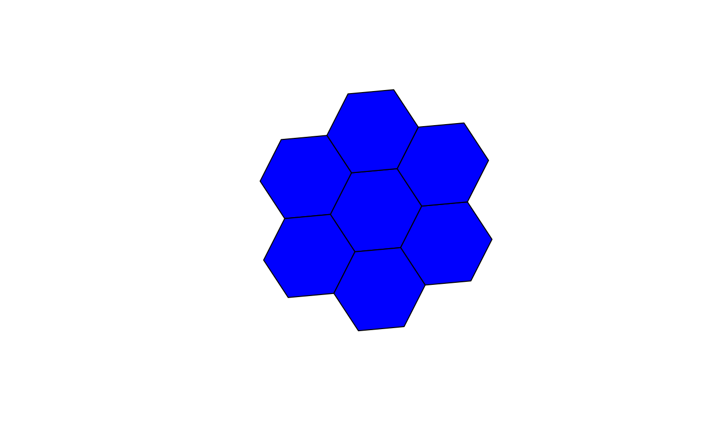
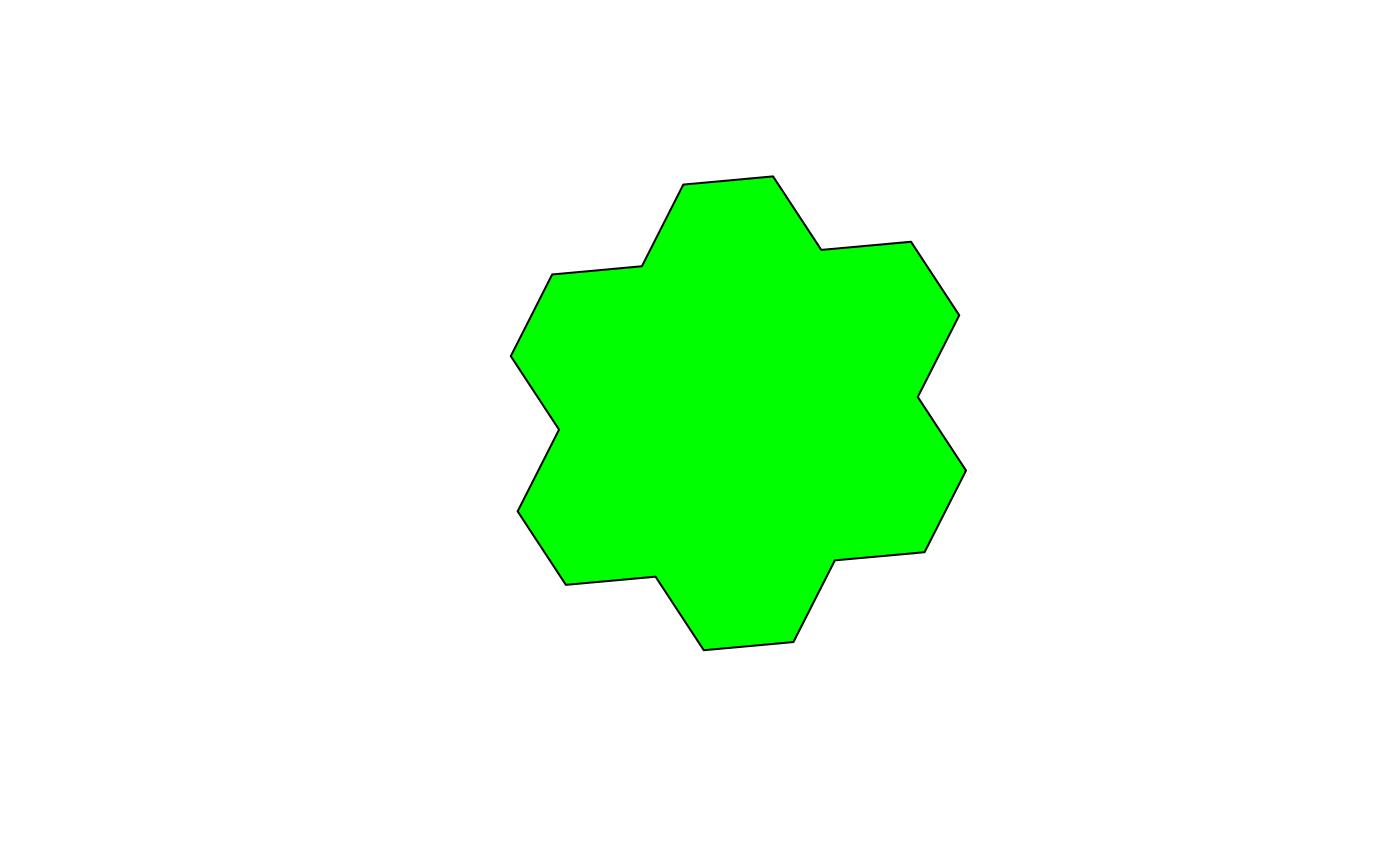
# Get all neighbors within 1 step of the hexagon
radius <- 1
(neighbors <- k_ring(h3_index, radius))
#> [1] "87283472bffffff" "87283472affffff" "87283470cffffff" "87283470dffffff"
#> [5] "872834776ffffff" "872834729ffffff" "872834728ffffff"

h3_to_geo_boundary_sf(neighbors) %>%
sf::st_geometry() %>% plot(col = "blue")h3_set_to_multi_polygon(neighbors) %>%
sf::st_geometry() %>% plot(col = "green")Run tests
devtools::test()
#> Loading h3
#> Testing h3
#> H3 hierachy: ....
#> H3 indexing: .....
#> H3 inspection: ....
#> H3 misc: ..
#> H3 traversal: .....
#> H3 uni edge: ...................
#>
#> DONE ======================================================================

