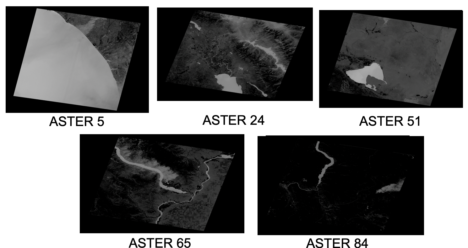
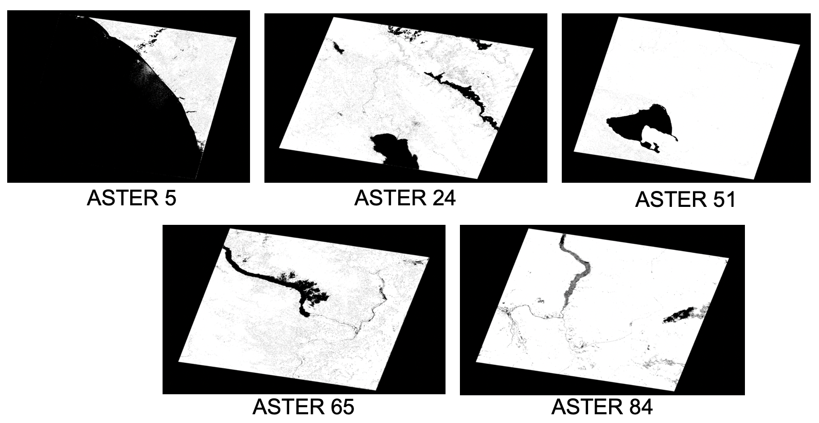
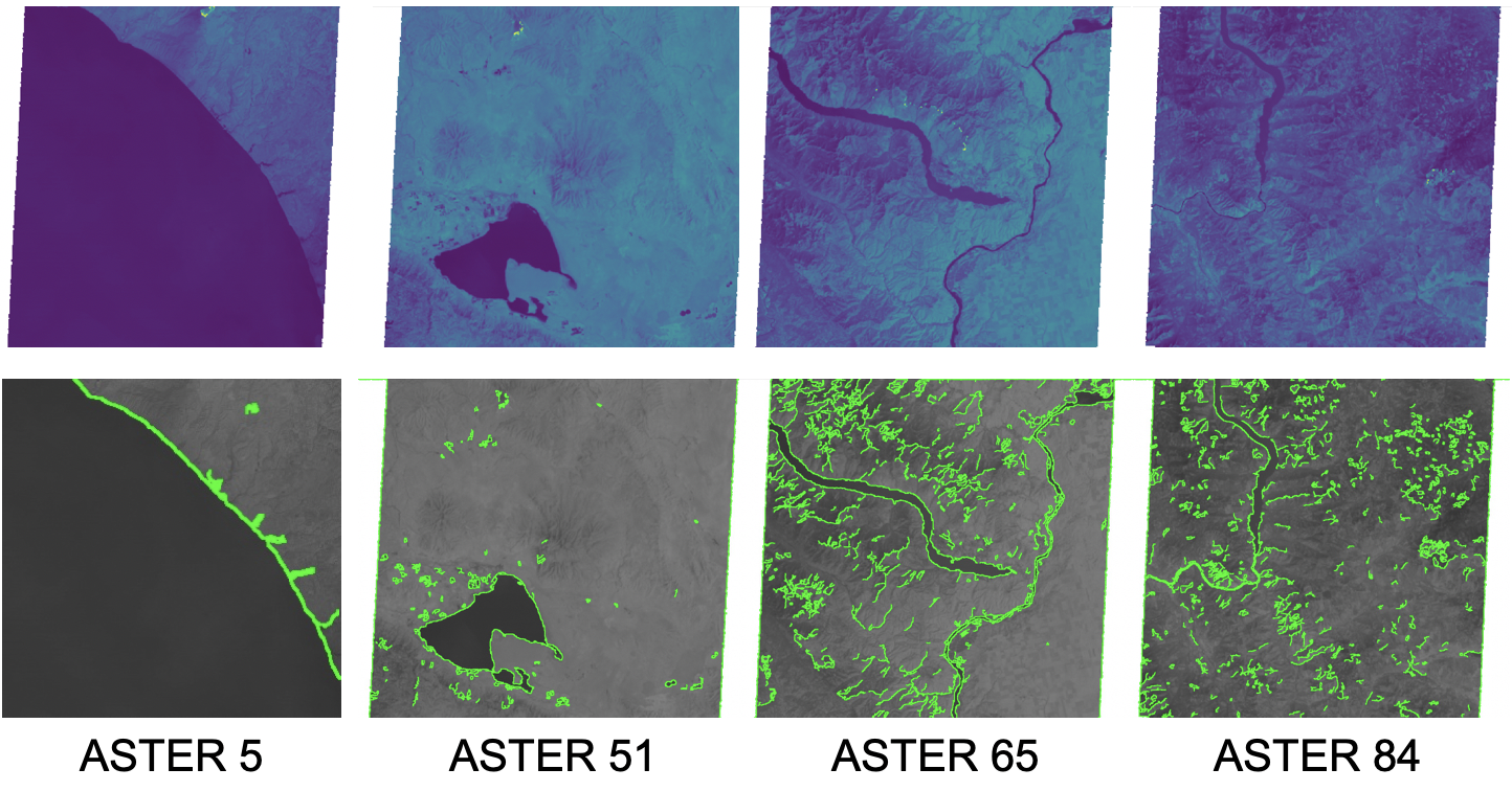
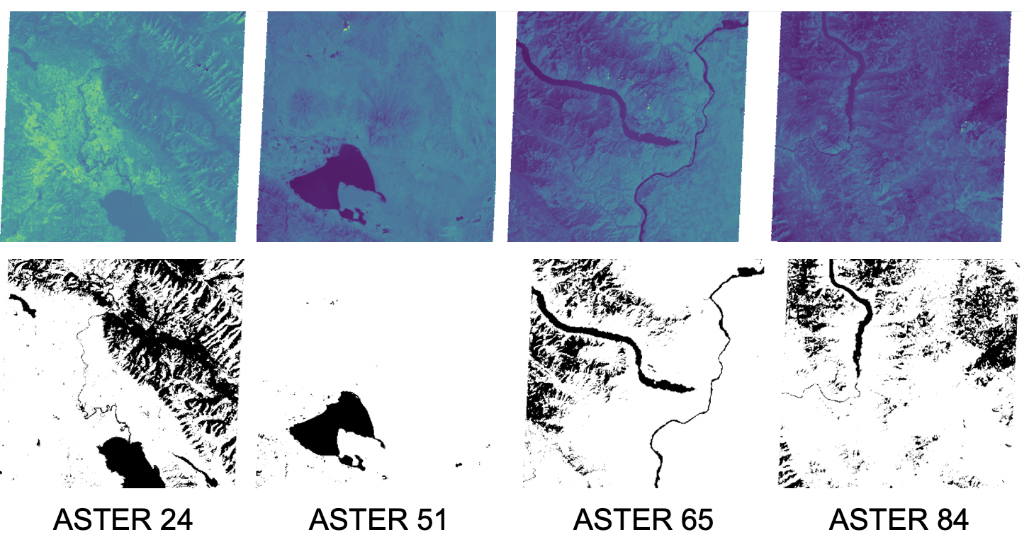
Provided open-source code is only an abstract of the fully developed object orianted code which remain confidential
$ pip install -r requirements.txt
- Used Python version 3.7.4
- Make sure you have GDAL and OpenCV on your system and liked to python
- Make sure to include your images dataset
from the code root dir run:
$ python main.py
- Refer to relevent files for running discuiption
- Each file have user guide included after run for hints as well
Using the following function should be as following:
- Add file path of band for first_band.
- Add file path of band for second_band.
- Rely on the results of 32-bit the most.
- NDVI 1st band Green, 2nd band NIR.
- NDWI 1st bamd NIR, 2nd Red.
- Experimantal 1st Green 2nd Red, and vise versia as well, only for the experimnt purpose
All rights reserved Mohamed Sobhy Fouda


