


Warning
This project is no longer maintained. Only there for code reference. It contains multiple security issues in dependencies.
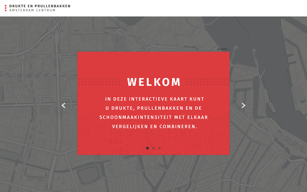
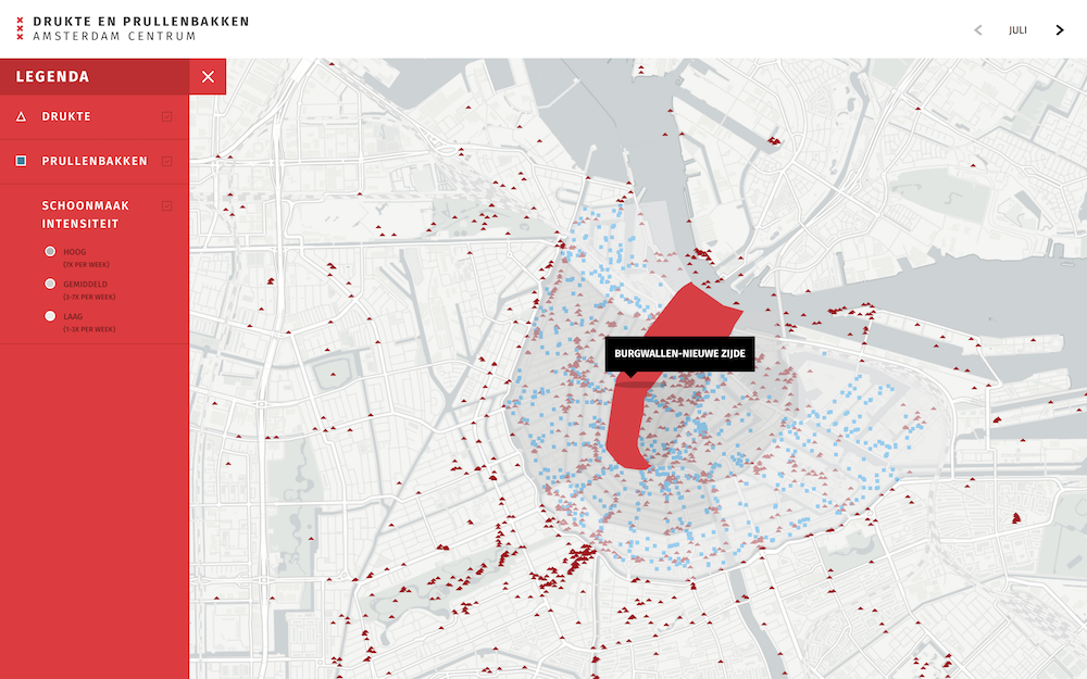
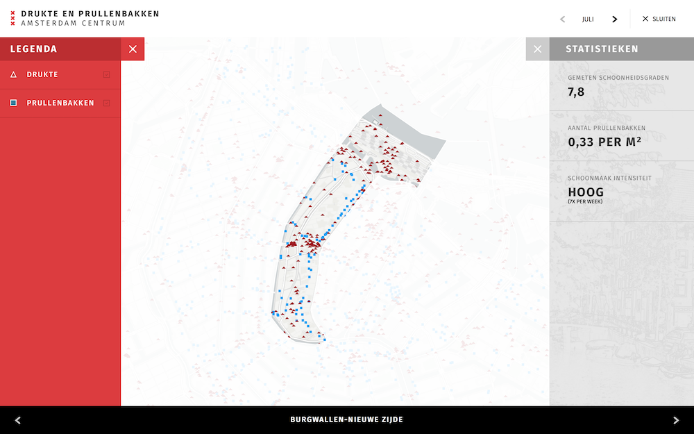
This application was created as a school project for the municipality of Amsterdam. We are asked to help them in their effort to keep the city clean. We have visualized the crowds in Amsterdam Center to make a map, based on GPS location of flickr pictures taken in Amsterdam Centrum. So we can see the crowds on a GPS base. We combined this dataset with all the trashbins in Amsterdam Centrum.
We created this application as a school project for the municipality of Amsterdam. They asked us to make a data visualization that helps them in their effort to keep the city clean.
Install meteor:
curl https://install.meteor.com | /bin/shDownload: https://github.com/matth96/Leaflet-with-meteor.git
Go to the project:
cd path/to/Interactive-mapRun meteor:
meteor| Name | Version | Description |
|---|---|---|
| iron:router | 1.0.12 | Routing specifically designed for Meteor. |
| jquery | 1.11.4 | Helpful client-side library |
| bevanhunt:leaflet | 1.2.1 | An open-source JavaScript library for mobile-friendly interactive maps. |
| http | 1.1.1 | Make HTTP calls to remote servers. |
| infinitedg:gsap | 1.16.0 | GreenSock Animation Platform : Professional-Grade HTML5 Animation. |
| kit:cssnext | 1.0.2 | Transpile CSS4 to CSS3 |
In the file public/data/url.json you can find all te urls we are using to get the data.
- RawData is the data from the trashes
- mapQuest is used to convert the street adresses to gps locations
- flickrGetPlaceId is the request url to the flickr API to get all photo's of a place id
- flickrGetPhotos is the request url to the flickr API to get all the photo id's
- flickrGetGeoPhoto is the request url to the flickr API to get the geo data from every photo.
Licensed under the Apache License see LICENSE