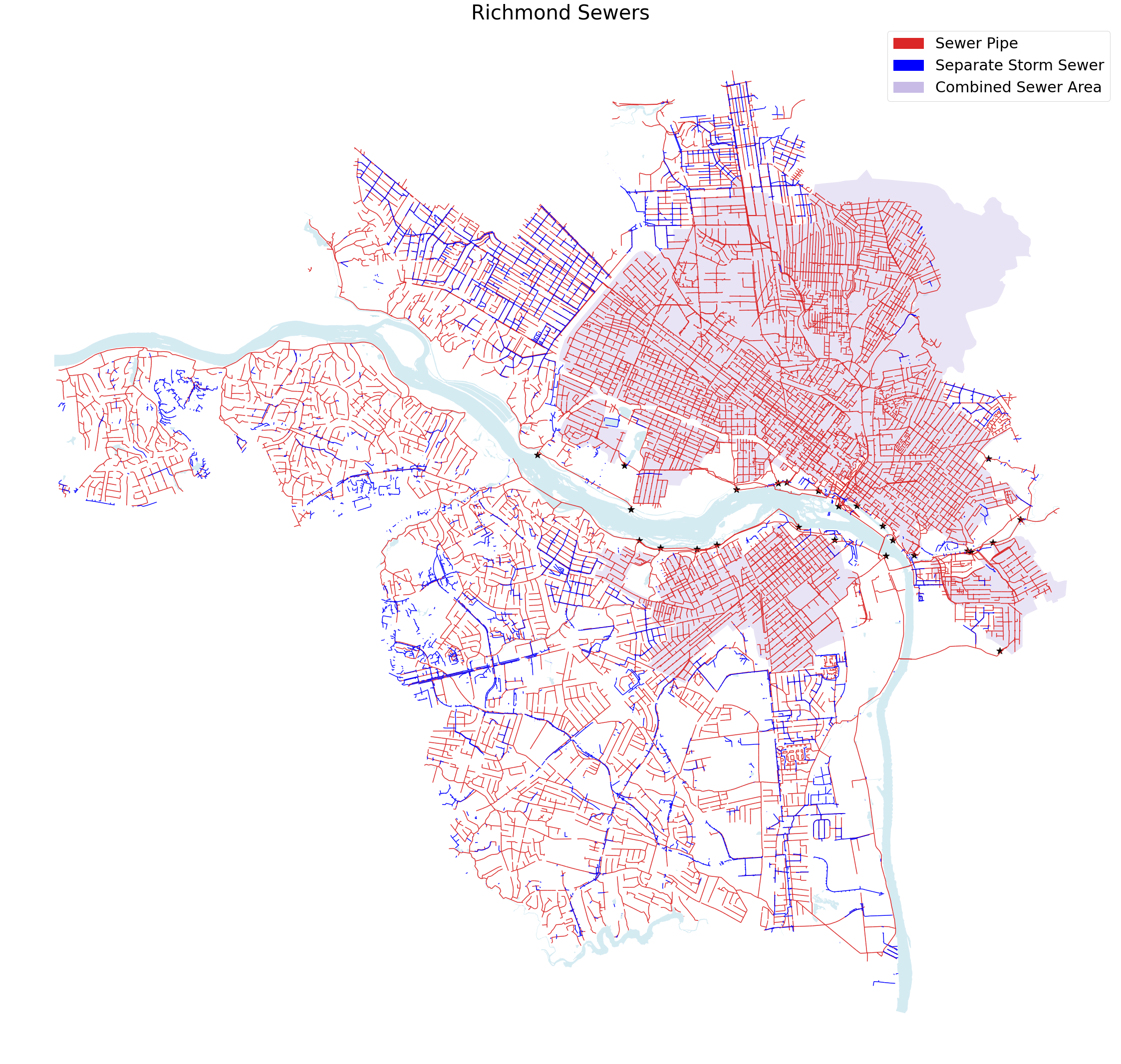
The Richmond Department of Public Utilities supports both the Wastewater Utility and Stormwater Utility. Like many older cities, it has a large combined sewer system which sometimes results in combined sewer overflow events, where wastewater ends up in the river.
I couldn't find an easily accessible dataset of the Richmond sewer pipes, but I found some GIS layers published by the DOEE, who have done some detailed TMDL documents about bateria levels in waterways, and was able to convert them into a more usable format.
Notes:
- shapefile.zip - If you're a GIS mapper, just download this and unzip it. It currently has 4 layers - the CSO boundaries, the storm drain system, the sewer sytem (both separate and combined), and the CSS outfalls.
- sewer_maps.ipynb - If you're a python developer, I did most of my coding here.
- sewer.gqs - This QGIS project file has some colors and formatting.
- Basemap/ - these files are from Richmond GIS FTP
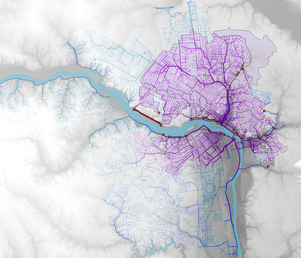
I also found it interesting to combine some elevation data - I used the National Map Downloader to grab "USGS 1/3 Arc Second n38w078 20210305" and cropped it to fit.

